|
Interface
|
Manufacturer
|
Model
|
Notes/Info
|
|
Air Data Computer
|
B & D
|
90004-003
|
|
|
Honeywell (Bendix/King)
|
KDC 281
KDC 481
|
|
|
Insight
|
TAS 1000
|
|
|
Altitude Serializer/Encoder
|
Garmin
|
GTX 327
|
|
|
ACK Technologies
|
A-30 (Mod 8 and above)
|
|
|
ARNAV
|
FC-10
FT-10
|
|
|
Electronics International
|
FP-5L
|
|
|
Icarus Instruments
|
3000
|
|
|
JP Instruments
|
EDM-700
|
|
|
Sandia
|
SAE 5-35
|
|
|
Shadin
|
833811-00 (AIS-380)
8800T
9000T
9200T
F/ADC-200
F/ADC-2000
91204XT(38)D (Miniflo-L)
91053XP (Digiflo-L)
91053XT-D (Digiflo-L)
912802-( ) (Digidata)
|
|
|
Trans-Cal Industries
|
IA-RS232-X
SSD120
|
|
|
Audio Panel
|
Garmin
|
SL10
SL10MS
SL10M
SL10S
SL15
SL15M
GMA 340
GMA 347
GMA 35(c)
GMA 350(c)/350H(c)
|
|
|
Honeywell (Bendix/King)
|
KMA 24
KMA 24H-70/71
KMA 26
KMA 28
|
|
|
PS Engineering
|
PMA 6000
PMA 7000 Series
PMA 8000 Series
|
|
|
Autopilot
|
Garmin
|
GFC 500
GFC 600
|
|
|
Bendix
|
M4C
M4D
|
|
|
Century
|
I/II/III/IV
21/31/41
2000
Trident
AK 1081
|
|
|
Cessna
|
300B/400B/800B
300 IFCS/400 IFCS/800 IFCS/1000 IFCS
|
|
|
Collins
|
APS 65 ( )
|
|
|
Honeywell (Bendix/King)
|
KAP 100/140/150
KFC 150/200/250/300
KFC 225/275/325
|
|
|
Sperry
|
SPZ 200A/500
|
|
|
S-TEC
|
System 20/30/40/50/55/60-1/60-2/60 PSS/65
System 55X
ST-901
|
|
|
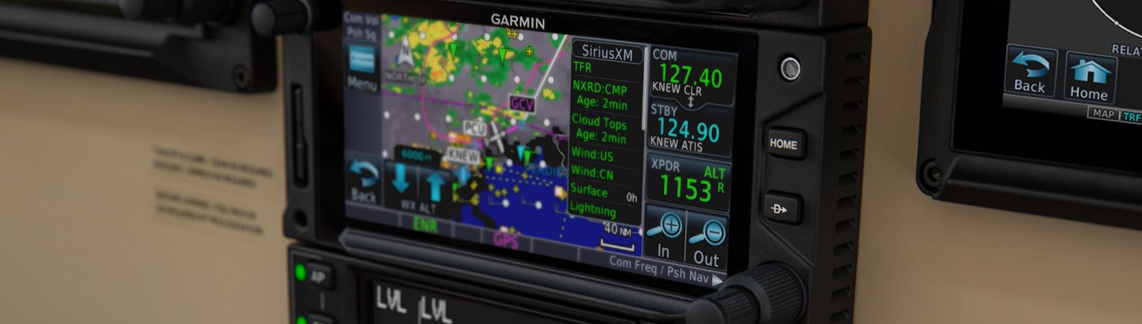
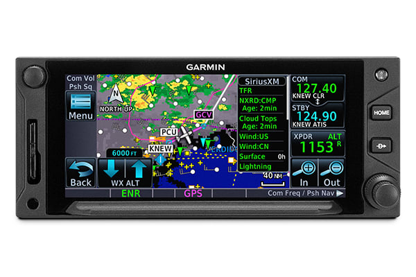
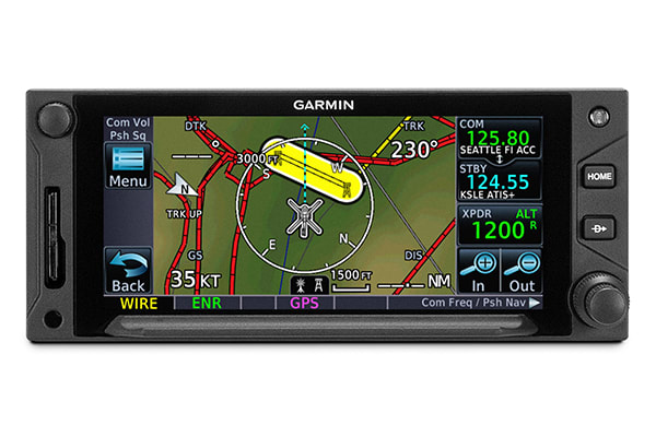
Datalink Weather Display and Control
|
Garmin
|
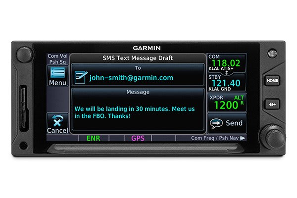
GDL 69/69A
GSR 56
|
GDL 69A also provides SiriusXM radio entertainment.
GSR 56 also provides text/voice communication
|
|
DME Control
|
Collins
|
DME 40
DME 42
|
|
|
Honeywell (Bendix/King)
|
KN62/62A
KN63
KN64
KDI 572/574
KDM 706
|
|
|
Narco
|
DME 890
IDME 891
|
|
|
EFIS
|
Garmin
|
G500/G600
TXi Series
G5
G3X Touch
|
|
|
Avidyne
|
EXP5000
|
|
|
Honeywell (Bendix/King)
|
EFS 40/50 (SG 465)
|
|
|
EHSI
|
Sandel
|
SN 3308
SN3500/4500
|
|
|
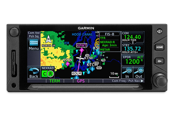
FIS-B Weather Display and Control
|
Garmin
|
GDL 88
|
|
|
Fuel/Air Data
|
Garmin
|
GTX 327
|
|
|
ARNAV
|
FC-10
FT-10
|
|
|
Electronics International
|
FP-5L
|
|
|
JP Instruments
|
EDM-700
|
|
|
Shadin
|
F/ADC-200
F/ADC-2000
91204XT(38)D (Miniflo-L)
91053XP (Digiflo-L)
91053XT-D (Digiflo-L)
912802-( ) (Digidata)
|
|
|
IRU/AHRS
|
Collins
|
AHS-85E
|
|
|
Lightning Detection Display and Control
|
L-3 Communications
|
WX-500
|
|
|
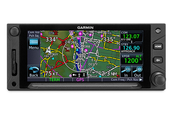
Multifunction Display
|
Garmin
|
GMX 200
MX20
|
|
|
Avidyne
|
EX500
EX5000
|
|
|
NAV Indicator
|
Garmin
|
GI 102/A
GI 106/A
|
|
|
Century
|
NSD 360A
NSD 1000
|
|
|
Collins
|
331A-6P
331A-9G
PN101 (331A-3F/3G)
IND-351D
|
|
|
Honeywell (Bendix/King)
|
KI 202A/203/204/206
KI 208/A
KI 209/A
KI 525A
KPI 552/B
KPI 553/A/B
|
|
|
Mid Continent
|
MD222-402
MD222-406
MD200-302/303/306/307
|
|
|
Sperry
|
RD 444
RD 550A
RD 650
|
|
|
S-TEC
|
ST 180
|
|
|
Synchro Heading Source
|
Bendix/King
|
KI-525A
|
|
|
TAS/TCAS/TIS Traffic Display and Control
|
Garmin
|
GTS 800/820/850
GTX 330/33/330D/33D
|
|
|
Avidyne (Ryan)
|
TAS 6XX (TCAD 9900BX)
|
|
|
Honeywell (Bendix/King)
|
KMH 880 (KMH 820)
KMH 980 (KMH 920)
KTA 870 (KTA 810)
KTA 970 (KTA 910)
|
|
|
L-3 Communications
|
SKY497 (Skywatch)
SKY899 (Skywatch HP)
|
|
|
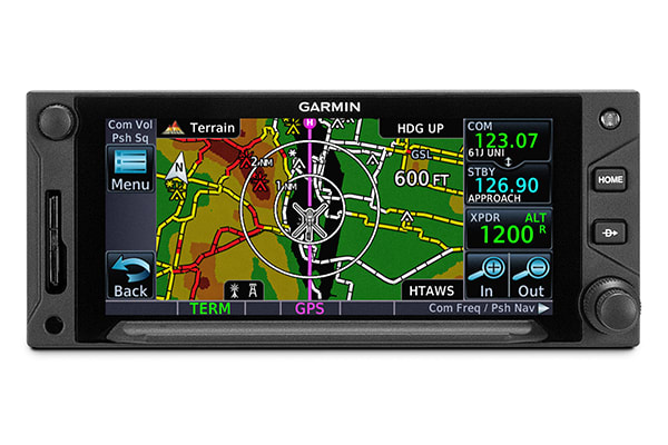
Terrain Avoidance and Warning System
|
Honeywell (Bendix/King)
|
KGP 560
KMH 880 (KMH 820)
KMH 980 (KMH 920)
|
|
|
Transponder Display and Control
|
Garmin
|
GTX 32
GTX 327
GTX 328
GTX 33/33D
GTX 330/330D
GTX 325/335(R)/345(R)
|
|
|
Weather Radar Display and Control
|
Garmin
|
GWX 68
GWX 70
GWX 75
|
|
|
Bendix/King
|
RDS 81 (RS 811A)
RDS 82 (RS 181A)
RDR 2000 (ART 2000)
RDR 2100 (ART 2100)
|
|